


Community Calendar
APR 5
Coles County Fair, West Madison Avenue, Charleston, IL, USA
APR 6
First Baptist Church, South 9th Street, Mattoon, IL, USA
APR 7
Carle Richland Memorial Hospital, East Locust Street, Olney, IL, USA
APR 8
HSHS St. Anthony's Memorial Hospital, North Maple Street, Effingham, IL, USA
Financial Ticker

Social

Election Day is Here-Go Vote!
Every vote matters! Take a few minutes today to head to the polls and make an impact. And after the election, let's work together to remove campaign signs and keep our streets clean. A great community starts with responsible citizens!


Severe Thunderstorm Warning
ILC021-029-041-115-139-147-173-301815-
/O.NEW.KILX.SV.W.0040.250330T1733Z-250330T1815Z/
BULLETIN - IMMEDIATE BROADCAST REQUESTED
Severe Thunderstorm Warning
National Weather Service Lincoln IL
1233 PM CDT Sun Mar 30 2025
The National Weather Service in Lincoln has issued a
* Severe Thunderstorm Warning for...
Western Coles County in east central Illinois...
Southeastern Christian County in central Illinois...
Moultrie County in central Illinois...
Shelby County in central Illinois...
Southeastern Piatt County in central Illinois...
Western Douglas County in east central Illinois...
Southeastern Macon County in central Illinois...
* Until 115 PM CDT.
* At 1233 PM CDT, severe thunderstorms were located along a line
extending from Dalton City to near Herrick, moving east at 45 mph.
HAZARD...60 mph wind gusts and quarter size hail.
SOURCE...Radar indicated.
IMPACT...Hail damage to vehicles is expected. Expect wind damage
to roofs, siding, and trees.
* Severe thunderstorms will be near...
Cowden, Bethany, Shelbyville, Lovington, Findlay, and Herrick
around 1240 PM CDT.
Sullivan and Hammond around 1245 PM CDT.
Other locations in the path of these severe thunderstorms include
Allenville, Arthur, Atwood and Windsor.
This includes Interstate 57 between mile markers 169 and 172, and
between mile markers 180 and 215.
PRECAUTIONARY/PREPAREDNESS ACTIONS...
For your protection move to an interior room on the lowest floor of a
building.
A Tornado Watch remains in effect until 700 PM CDT for central and
east central Illinois.
&&
LAT...LON 3937 8835 3937 8847 3922 8847 3922 8914
3935 8914 3935 8916 3977 8891 3987 8810
TIME...MOT...LOC 1733Z 250DEG 38KT 3969 8881 3922 8904
HAIL THREAT...RADAR INDICATED
MAX HAIL SIZE...1.00 IN
WIND THREAT...RADAR INDICATED
MAX WIND GUST...60 MPH
$$
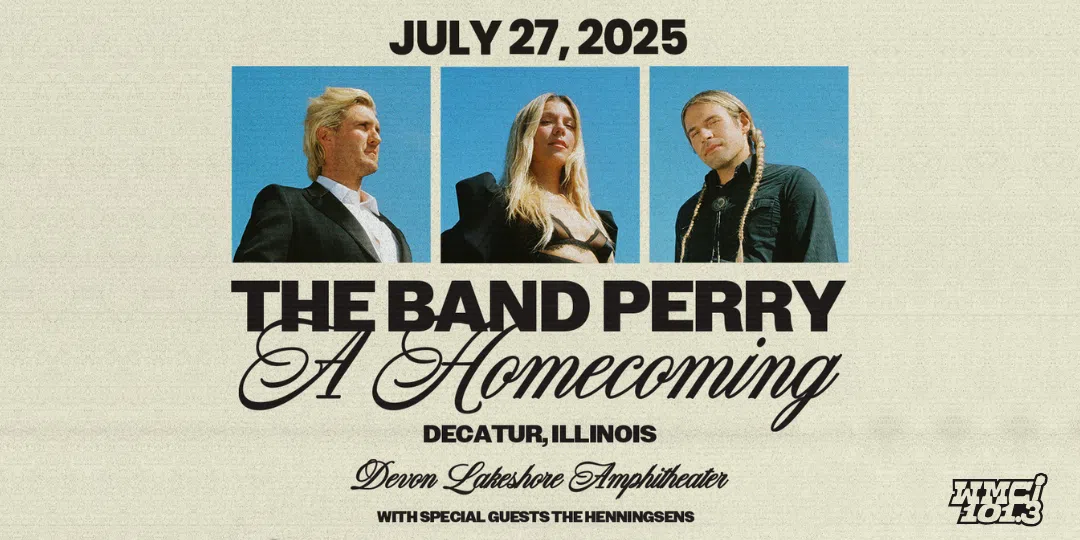
101.3 WMCI welcomes, The Band Perry with Special Guests the Henningsens, to the Devon Lakeshore Amphitheater on Sunday, July 27th! Tickets go on sale Friday, April 4! Or you can win them before you buy them! Just listen to the Yawn Patrol, Monday, March 31st - Friday, April 4th, and be caller #5 when you hear The Yawn Patrol play The Band Perry!

The National Weather Service has issued a Tornado Watch
TORNADO WATCH 70 IS IN EFFECT UNTIL 800 PM EDT FOR THE
FOLLOWING LOCATIONS
ILC005-019-021-023-025-027-029-033-035-041-045-047-049-051-055-
059-065-077-079-081-101-115-121-135-139-145-147-157-159-165-173-
183-185-189-191-193-199-310000-
/O.NEW.KWNS.TO.A.0070.250330T1700Z-250331T0000Z/
IL
. ILLINOIS COUNTIES INCLUDED ARE
BOND CHAMPAIGN CHRISTIAN
CLARK CLAY CLINTON
COLES CRAWFORD CUMBERLAND
DOUGLAS EDGAR EDWARDS
EFFINGHAM FAYETTE FRANKLIN
GALLATIN HAMILTON JACKSON
JASPER JEFFERSON LAWRENCE
MACON MARION MONTGOMERY
MOULTRIE PERRY PIATT
RANDOLPH RICHLAND SALINE
SHELBY VERMILION WABASH
WASHINGTON WAYNE WHITE
WILLIAMSON
$$
Start your morning with inspiration and great food at the Community Leaders Breakfast on May 1st at Emerald Acres. This special event honors the 2025 Class of 20 Under 40, recognizing young professionals and students who are shaping our region's future. Hear from guest speaker Will Leitch and connect with local leaders. Learn about the class on our website.

Check out Cass Concepts second interview with Bub from Monday! Stay tuned to the podcasting page on our website for more interviews, play-by-plays, and podcasts!