


Community Calendar
MAR 29
Ashmore Community Center, South Illinois Street, Ashmore, IL, USA
Financial Ticker

Social
Congrats to the 2025 Class of 20 Under 40! Celebrate them at the Community Leaders Breakfast on May 1st at Emerald Acres! Enjoy a delicious breakfast while recognizing outstanding young leaders who are making a difference in our community. Guest speaker Will Leitch will share his insights on leadership and success. Tickets are just $25-reserve your seat today.


...A TORNADO WARNING REMAINS IN EFFECT UNTIL 530 PM CDT FOR
NORTHEASTERN COLES...NORTHERN EDGAR AND SOUTHEASTERN DOUGLAS
COUNTIES...
At 458 PM CDT, a confirmed tornado was located over Oakland, or 13
miles northeast of Charleston, moving northeast at 45 mph.
HAZARD...Damaging tornado.
SOURCE...Radar confirmed tornado.
IMPACT...Flying debris will be dangerous to those caught without
shelter. Mobile homes will be damaged or destroyed. Damage
to roofs, windows, and vehicles will occur. Tree damage is
likely.
This tornado will be near...
Brocton around 505 PM CDT.
Hume around 510 PM CDT.
Other locations impacted by this tornadic thunderstorm include
Redmon, Isabel, Hindsboro, Walnut Point State Park, and Borton.
PRECAUTIONARY/PREPAREDNESS ACTIONS...
To repeat, a tornado is on the ground. TAKE COVER NOW! Move to a
basement or an interior room on the lowest floor of a sturdy
building. Avoid windows. If you are outdoors, in a mobile home, or in
a vehicle, move to the closest substantial shelter and protect
yourself from flying debris.
&&
LAT...LON 3955 8805 3964 8819 3988 8794 3967 8761
TIME...MOT...LOC 2158Z 225DEG 41KT 3965 8804
TORNADO...OBSERVED
MAX HAIL SIZE...<.75 IN
$$
Barnes

Social Media Graphics That Stop the Scroll! ?
 In today's digital world, visuals matter! High-quality, on-brand graphics boost engagement, increase brand awareness, and help your business stand out. From organic posts to paid ads, we design it all! Let's create something that grabs attention-email Luci today!
In today's digital world, visuals matter! High-quality, on-brand graphics boost engagement, increase brand awareness, and help your business stand out. From organic posts to paid ads, we design it all! Let's create something that grabs attention-email Luci today!The National Weather Service in Lincoln has issued a
* Severe Thunderstorm Warning for...
Northern Edgar County in east central Illinois...
Southeastern Vermilion County in east central Illinois...
* Until 615 PM CDT.
* At 509 PM CDT, a severe thunderstorm was located over Newman, or 17
miles east of Tuscola, moving northeast at 55 mph.
HAZARD...70 mph wind gusts and quarter size hail.
SOURCE...Radar indicated.
IMPACT...Hail damage to vehicles is expected. Expect considerable
tree damage. Wind damage is also likely to mobile homes,
roofs, and outbuildings.
* This severe thunderstorm will be near...
Hume around 515 PM CDT.
Sidell around 520 PM CDT.
Other locations in the path of this severe thunderstorm include
Catlin, Georgetown, Westville, Tilton and Danville.
This includes Interstate 74 between mile markers 206 and 220.
PRECAUTIONARY/PREPAREDNESS ACTIONS...
Remain alert for a possible tornado! Tornadoes can develop quickly
from severe thunderstorms. If you spot a tornado go at once into the
basement or small central room in a sturdy structure.
For your protection move to an interior room on the lowest floor of a
building.
A Tornado Watch remains in effect until 900 PM CDT for east central
Illinois.
&&
LAT...LON 3973 8773 3984 8794 3991 8794 4049 8755
4049 8753 3980 8753
TIME...MOT...LOC 2209Z 220DEG 42KT 3978 8795
TORNADO...POSSIBLE
THUNDERSTORM DAMAGE THREAT...CONSIDERABLE
HAIL THREAT...RADAR INDICATED
MAX HAIL SIZE...1.00 IN
WIND THREAT...RADAR INDICATED
MAX WIND GUST...70 MPH
$$
Barnes
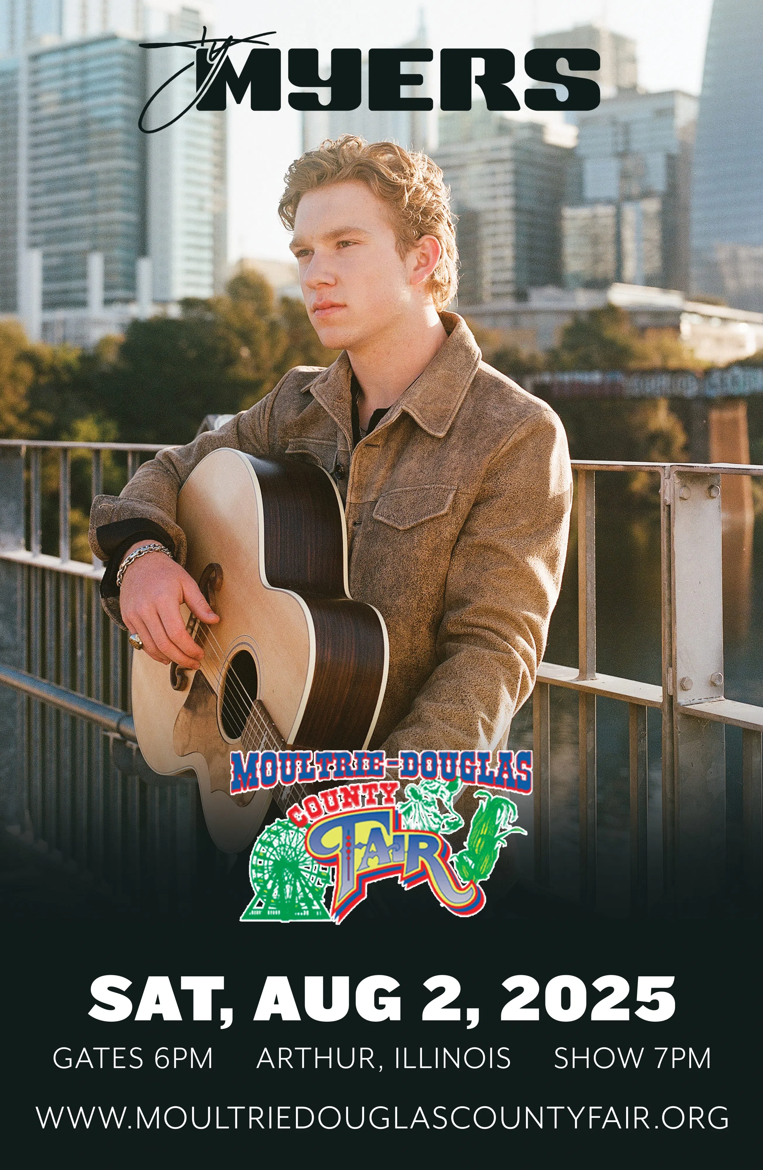
Discover your next favorite band! Check out our concert calendar for a lineup of incredible events. Plan your nights out and enjoy unforgettable live music experiences.
Sponsored by Mattoon Mattress.

The National Weather Service in Lincoln has issued a
* Tornado Warning for...
Northeastern Coles County in east central Illinois...
Northern Edgar County in east central Illinois...
Southeastern Douglas County in east central Illinois...
* Until 530 PM CDT.
* At 448 PM CDT, a severe thunderstorm capable of producing a tornado
was located over Rardin, or near Charleston, moving northeast at 50
mph.
HAZARD...Tornado.
SOURCE...Radar indicated rotation.
IMPACT...Flying debris will be dangerous to those caught without
shelter. Mobile homes will be damaged or destroyed.
Damage to roofs, windows, and vehicles will occur. Tree
damage is likely.
* This dangerous storm will be near...
Oakland around 455 PM CDT.
Brocton around 500 PM CDT.
Other locations in the path of this tornadic thunderstorm include
Hume.
PRECAUTIONARY/PREPAREDNESS ACTIONS...
TAKE COVER NOW! Move to a basement or an interior room on the lowest
floor of a sturdy building. Avoid windows. If you are outdoors, in a
mobile home, or in a vehicle, move to the closest substantial shelter
and protect yourself from flying debris.
&&
LAT...LON 3948 8815 3956 8827 3988 8794 3967 8761
TIME...MOT...LOC 2148Z 227DEG 42KT 3957 8813
TORNADO...RADAR INDICATED
MAX HAIL SIZE...<.75 IN
$$
Deubelbeiss